MapView
Introduction
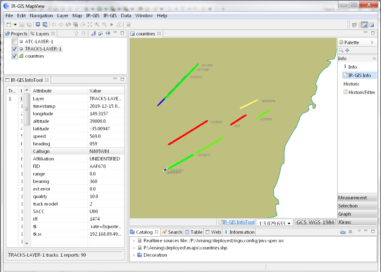
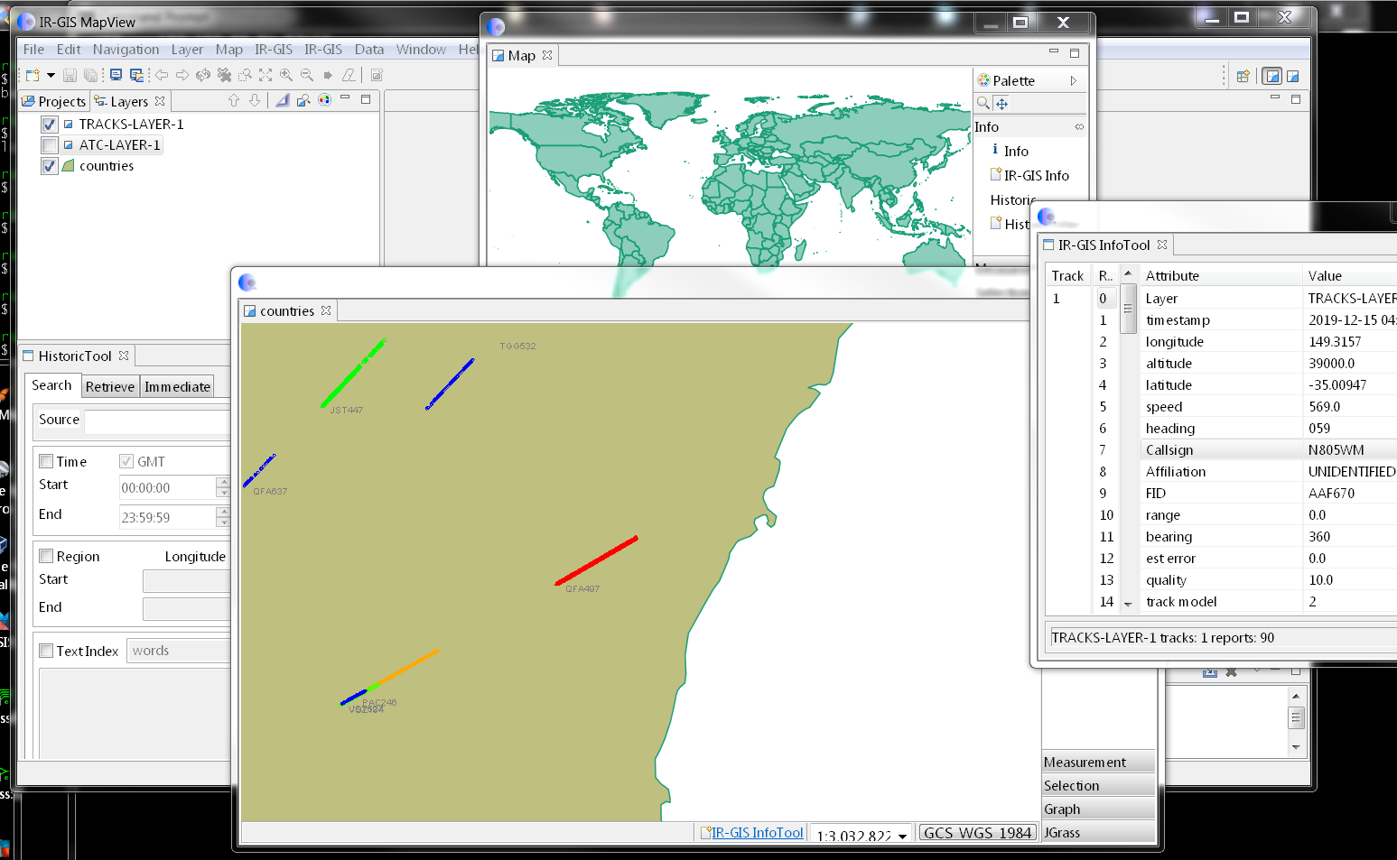
IR-GIS ® MapView provides large-scale dispiay of many position reports. The IR-GIS ® Product is mature and has been in operation since 2010 providing real-time Situational Awareness Displays for moving traffic position reports. IR-GIS ® provides Historical Searches and the retrievals are displayed in layers on the maps in the of area of interest. The persistance is provided by the IR-GIS ® Historical Pullback Server, and the same persistence is used to restore the Awareness picture acrosss restart. IR-GIS ® product was designed to track and record thousands of aircraft in real-time, and also handles maritime traffic, or can handle taxies. One test input is the complete 24 hours movement of the entire AIS modem capture (24 hours of the worlds ship movements), supplied by a commercial provider and IR-GIS ® can track, retain and display that test data without fault, performance degradation and without running out of memory on a 64bit laptop with 8Gb of RAM.

The product suite has been upgraded recently from udig baseline 1.3.
- IR-GIS ® MapView 2.1.2 (released 20181017) incorporates the latest udig 2.0 baseline providing enhanced OGC compatibility, additional features, and new developments.
- MapView 2.X client executables are available for the following operating environments:
- Windows 32 (small footprints only),
- Windows 64 bit,
- Linux 64 bit and
- MacOS.
The new IR-GIS(R) MapView 2.1.2 client and it's feature set has been developed to be compatible with the Historical Pullback Server 1.3X after incorporation of new product licence.
We however also recommend migration to the IR-GIS(R) HPS 2.X to take advantage of the Java 8 byte code and to ensure future compatibility as the new MapView 2.X diverges, and the prior 1.3X product support will cease. Also note the Oracle support policies for old Java versions.
- https://java.com/en/download/faq/java_7.xml
- https://www.oracle.com/technetwork/java/javase/eol-135779.html

Features
This new product incorporates many new features The latest GIS functionality from udig 2.X which includes:
- dockable and detatchable map windows
- multiple map windows
- CSV Import data-source
- Geopaparazz
- KML/KMZ Import
- OWS Content
- Data Sources
- AMQ (ir-xml) source
- shapefiles
- ArcSDE
- DB2
- MySQL host
- NASA WorldWind Configuration Files
- Oracle Spatial
- PostGIS
- Teradata
- Web Map Server
- Web Feature Server
- Web Map Server Tile Cache
- Web Map Tiles (OpenStreetMap, MapQuest Maps)
- Datastores (read-write):
- directory of spatial files (shapefiles)
- GeoPackage
- Geobuf
- H2 (embedded)
- Microsoft SQL Server (JTDS Driver)
- MySQL
- Oracle NG
- PostGIS
- Properties (Java property files with Feature information)
- ESRI(R) Shapefile (*.shp)
- Web Complex Feature Server (NG)
- General Export:
- Project
- Coverage to tiff or esri ascii
- KML/KMZ of a feature layer
- Layer to Shapefile (not AMQ Source layers)
- Map to Image
- OWS Context
- Resource to Shapefile
- IR-GIS real-time layer operations:
- csv import and export
- KML import and export
- Oilstock import and export
- Historical Pullback and Rendering
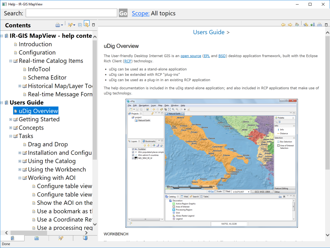
- and now incorporates embedded help for IR-GIS MapView and uidg as well:


