MapWorld
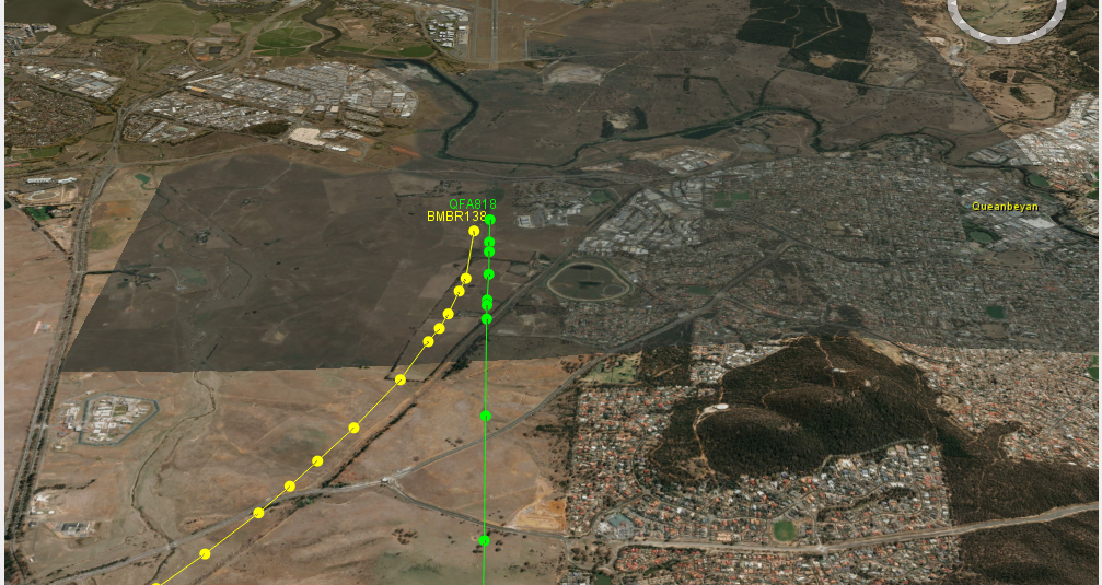
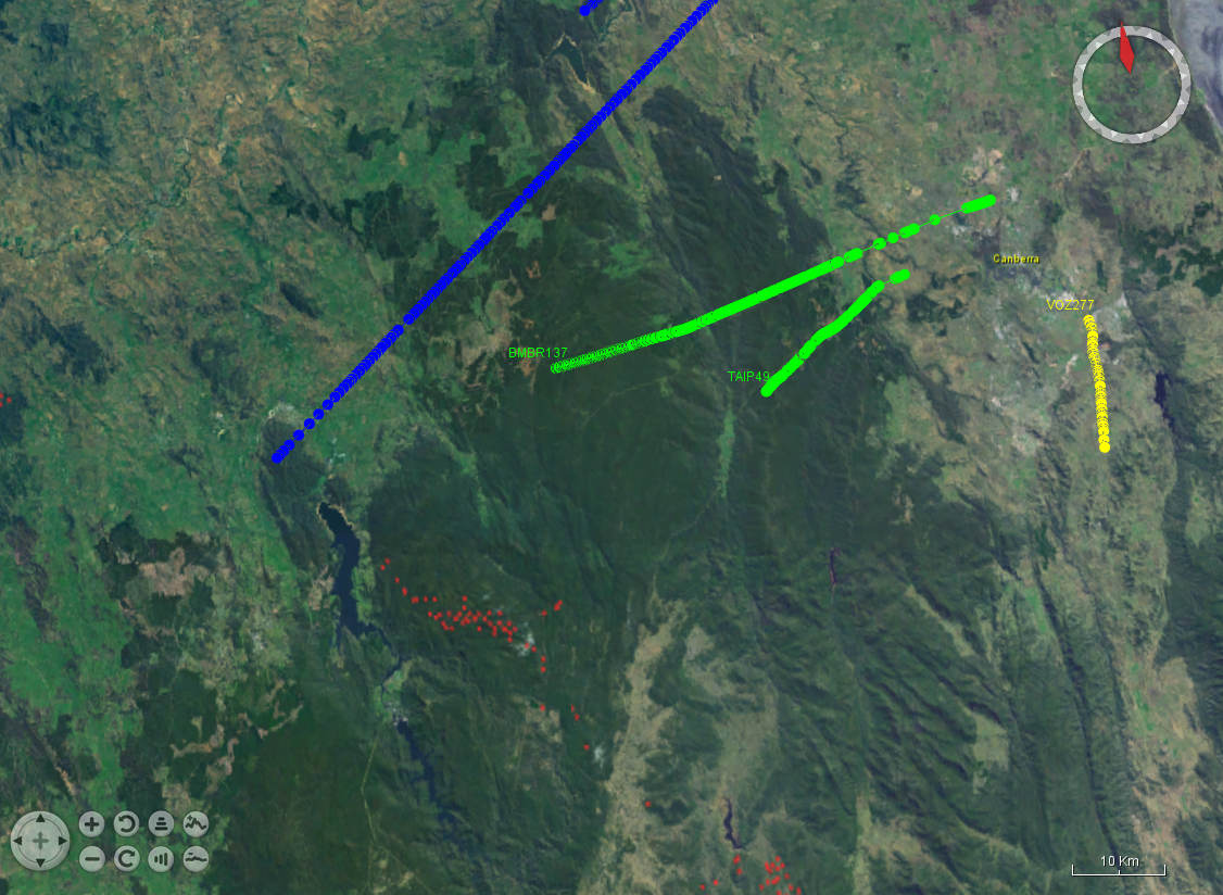
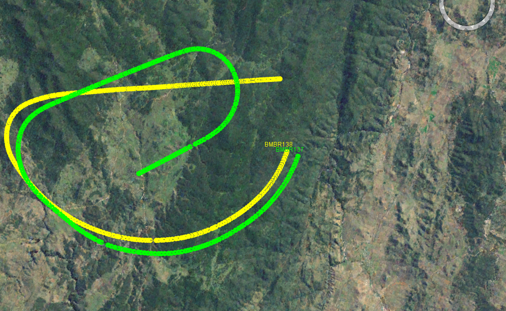
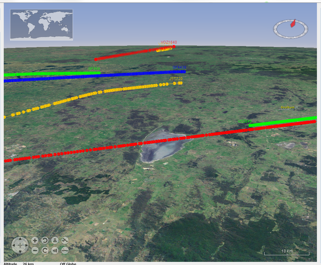
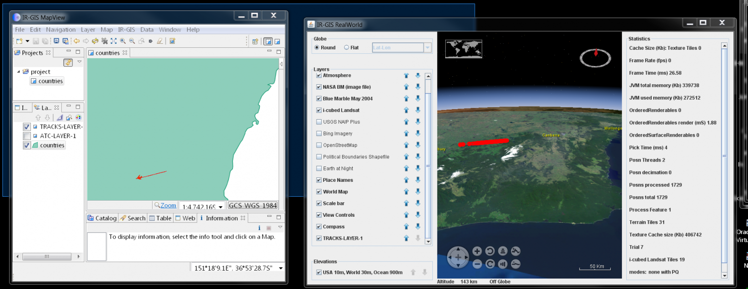
IR-GIS ® MapWorld is a fantastic new product offering 3D stereoscopic rendering of real-time position reports (read that as Virtual Reality).
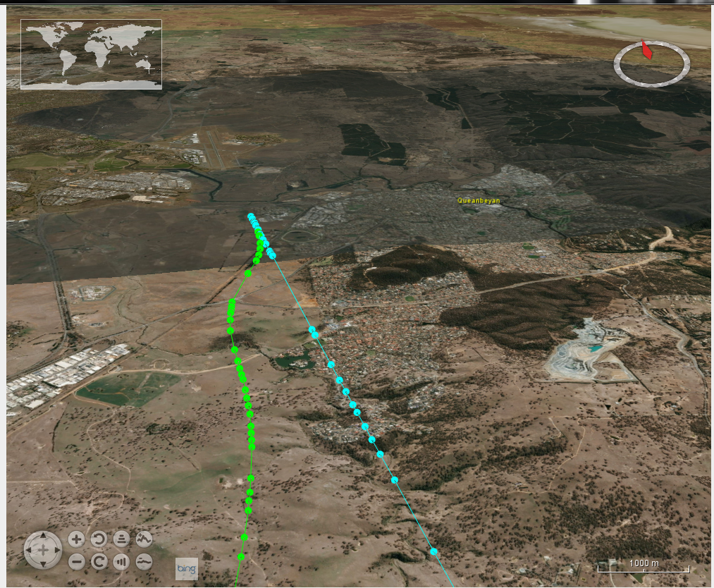
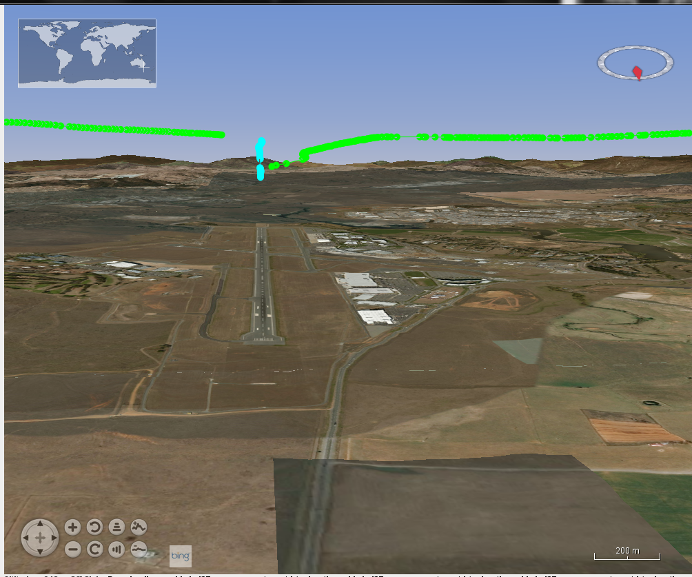
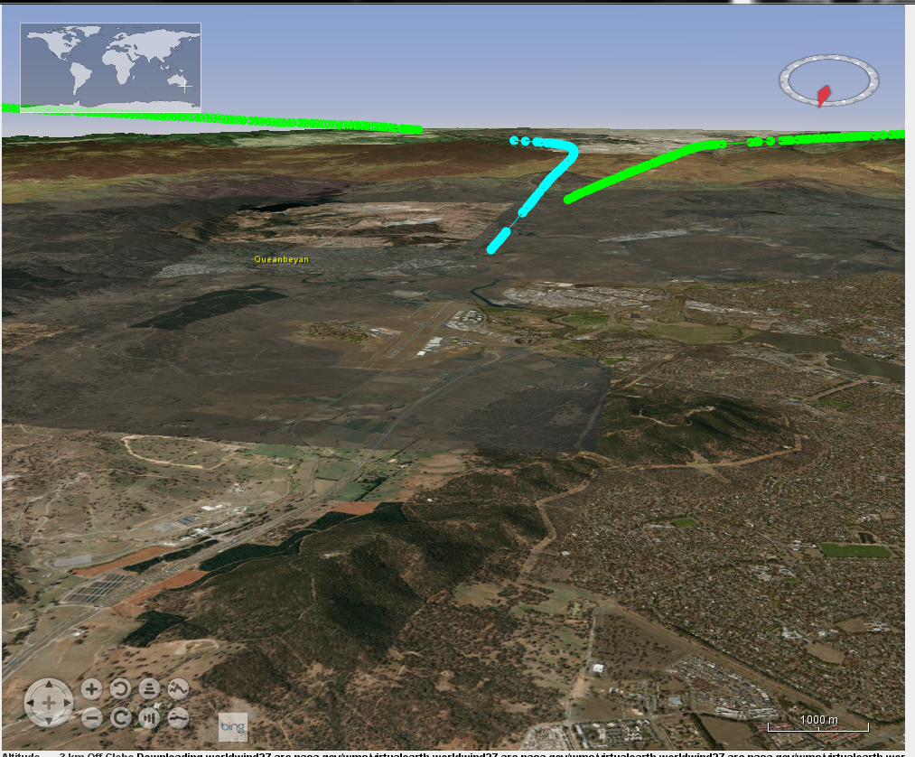
The following exhibited screen shots show some of the aspects of the product's rendering capabilities. Aircraft data is acquired from live-to-air public transmission by the aircraft themselves and received by Open Source piaware receivers. A conversion program and tracker piCap were written to convert between the receiver captured data and the IR-GIS ® application ir-xml format, and then injected into activemq JMS topics for distribution to the remaining IR-GIS ® applications.
All the real-time data is injected into the system transport layers, and uses a simple user-extensible format ir-xml. The same formats are used for capture, recording, display and play-back. The data can even be exported and imported from file.
Other exhibits will come to light as I progress the designs further.
exihibits
.
.
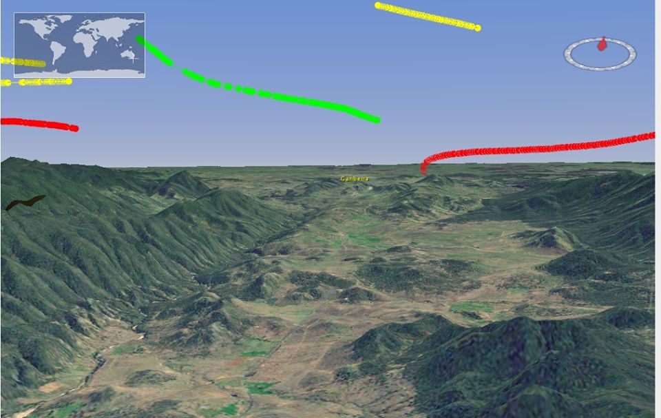
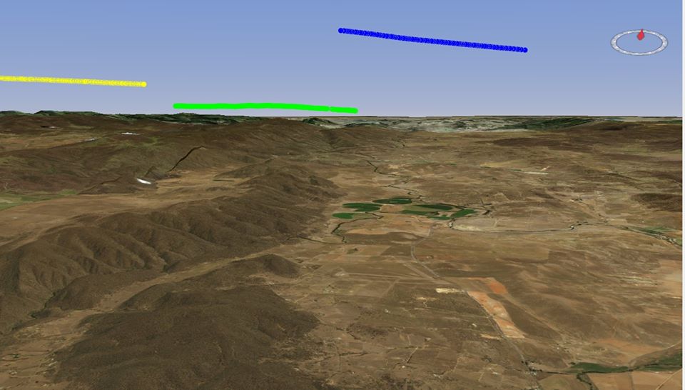
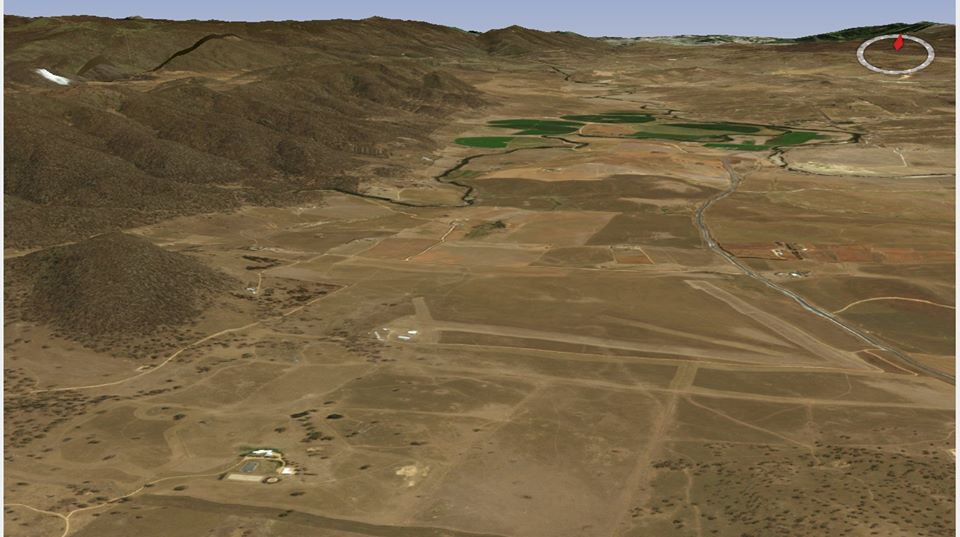
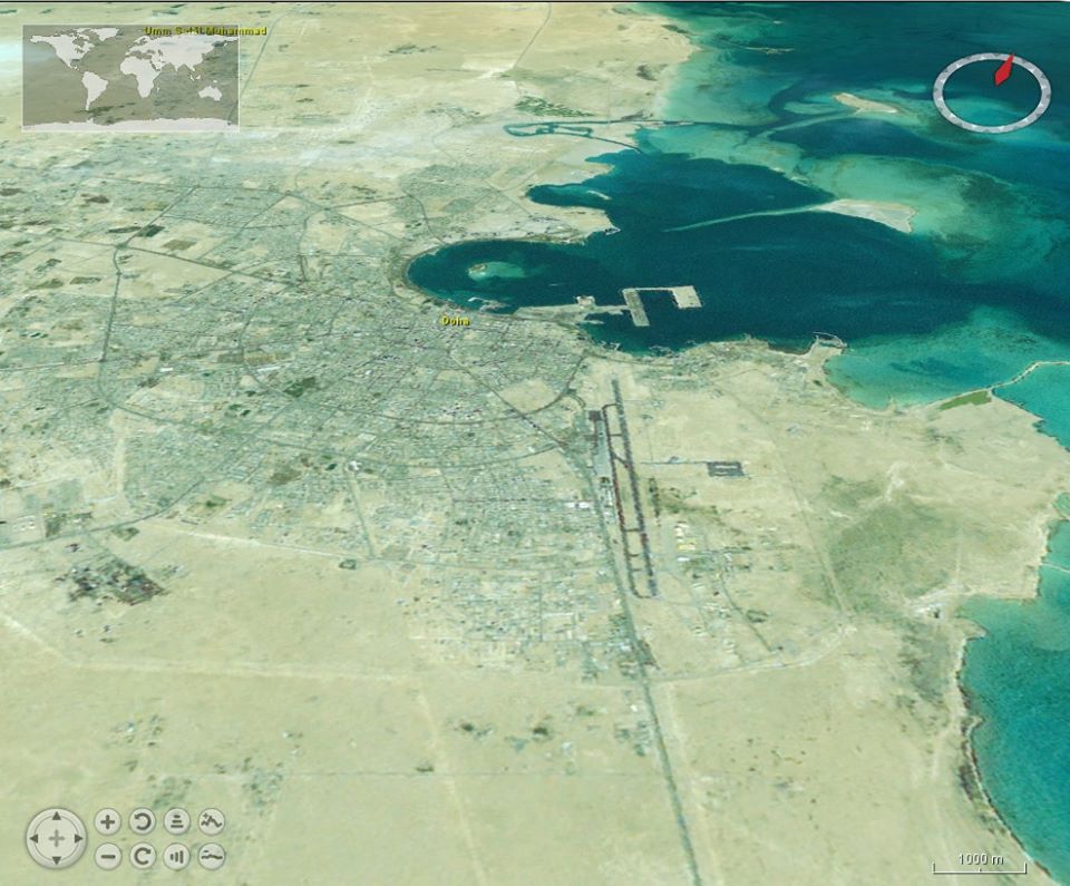
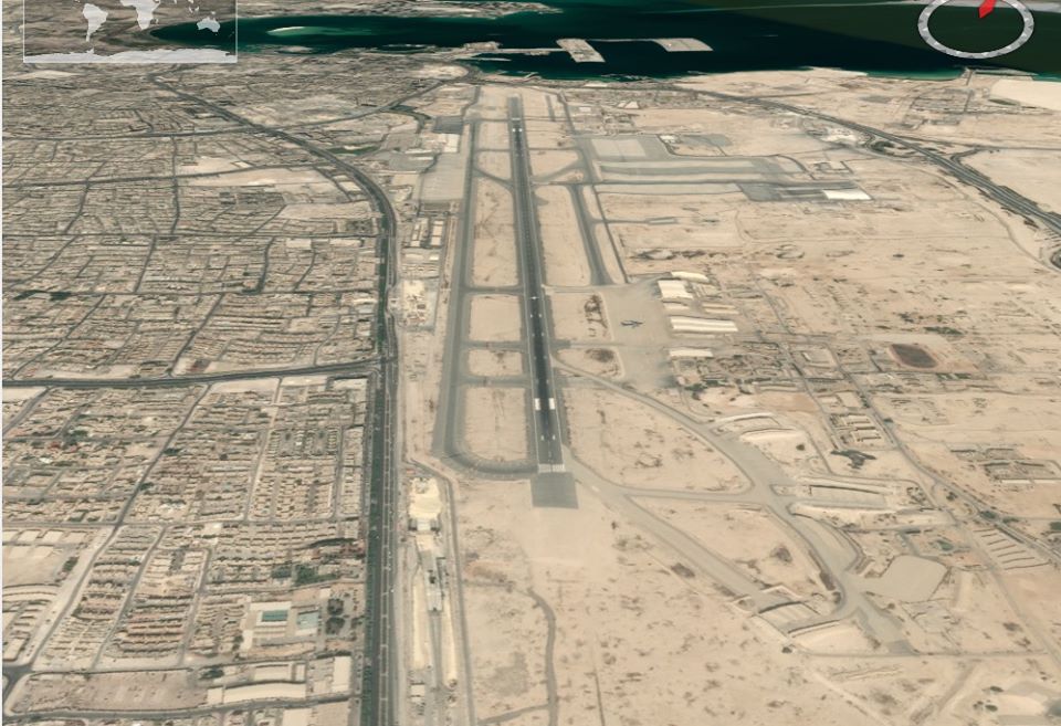
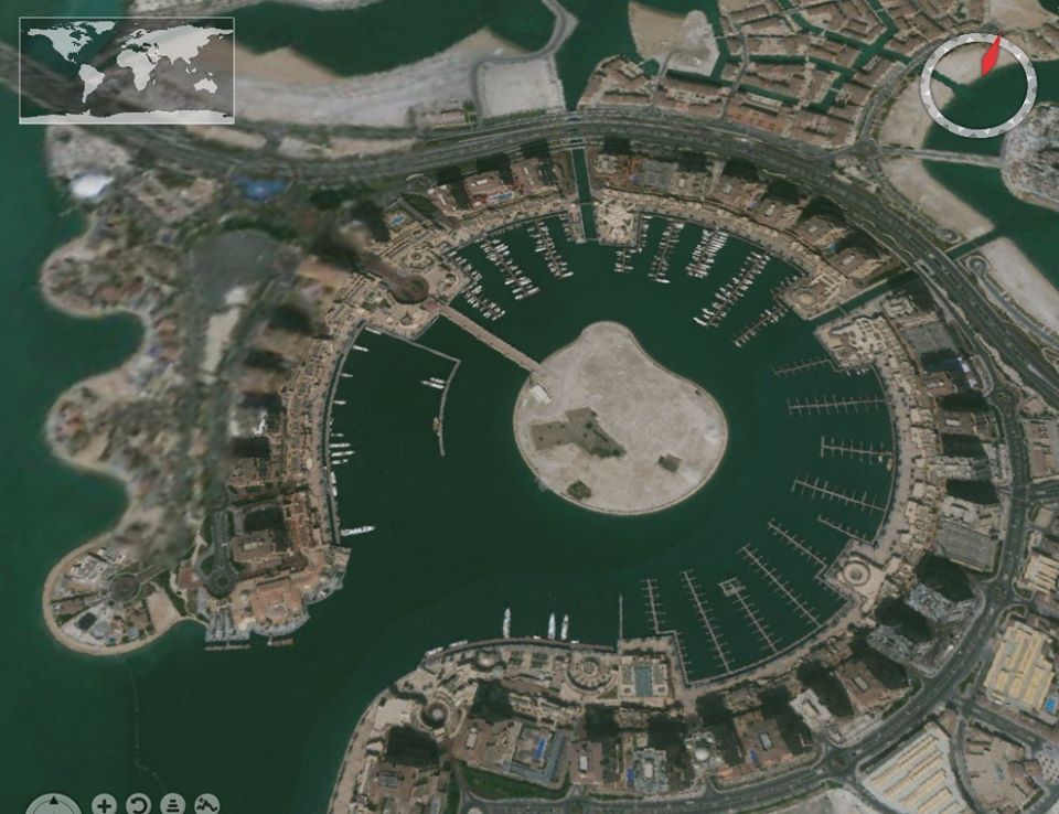
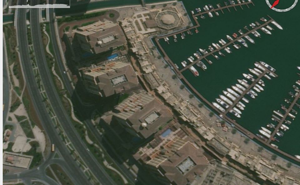
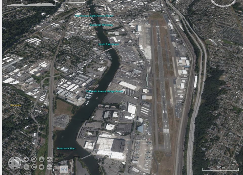
Canberra Airport
trials
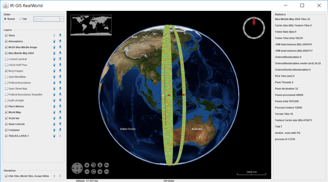
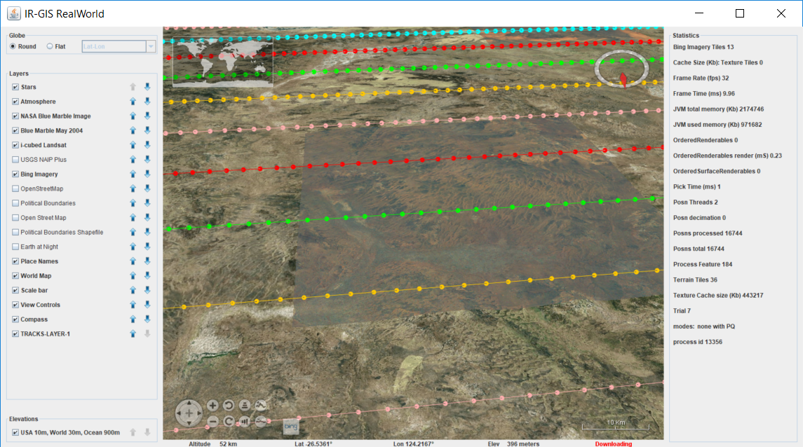
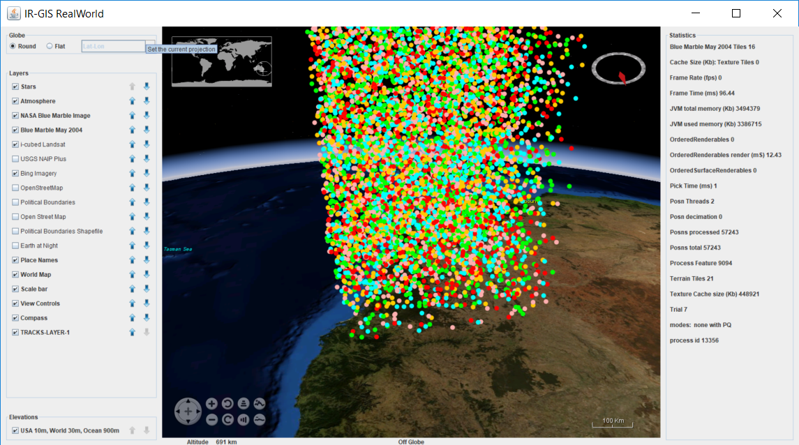
Various Rendering techniques were conducted until Trial-7 proved that satisfactory results could be had.
These initial trial results were captured to judge efficacy of 3D rendering real-time position reports within the technology. The regular data were constructed via the cross-hatch test, which is a standard simulated load that is used to characterise the IR-GIS ® MapView 2D client and its development. It sends a swaf of aircraft flying at altitude and constant latitude on the TRACKS and ATC raw feeds, including annotation text, and Flight Plan data so activemq, the HPS, and clients can be loaded.
The random data test was produced by a special written program to create individual Features containing only one Position Report.
More data will be published here after we progress a little further down the track.


